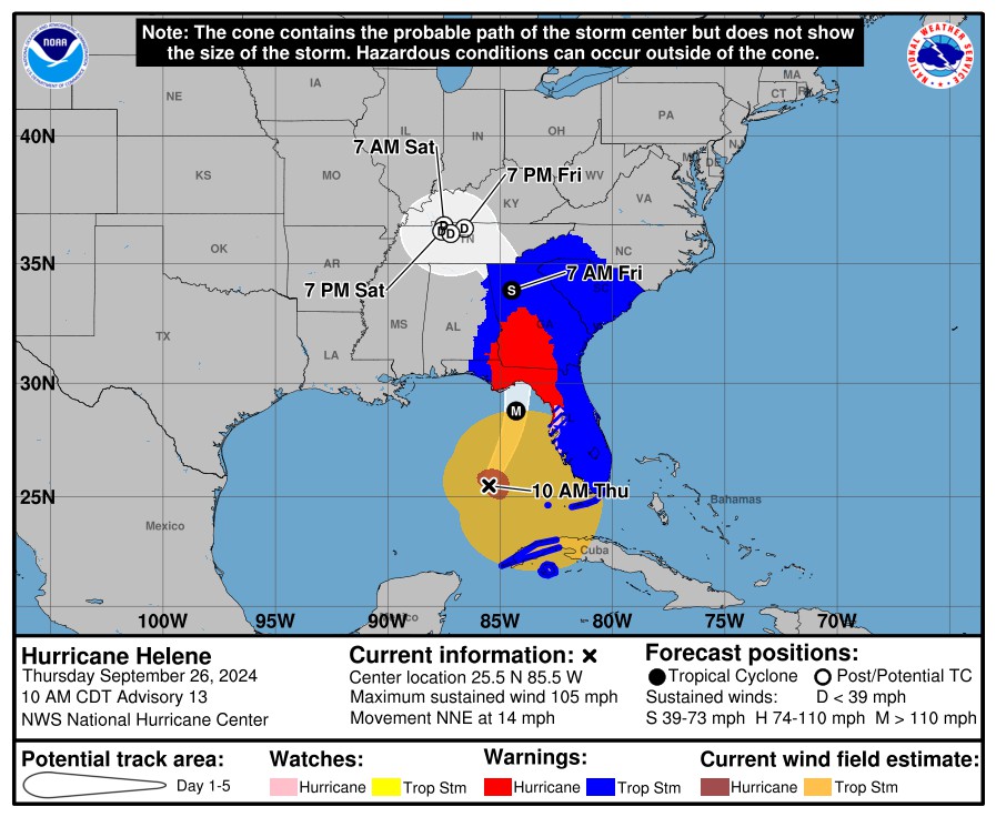
Here is the latest from NOAA on Hurricane Irma:
000
WTNT41 KNHC 110903
TCDAT1
Hurricane Irma Discussion Number 49
NWS National Hurricane Center Miami FL AL112017
500 AM EDT Mon Sep 11 2017
Irma is continuing to weaken as it moves across the western Florida
peninsula, with the eye dissipating and weakening banding near the
center. There are no recent observations of hurricane-force winds
near the center, but based on the premise that such winds still
exist over the Gulf of Mexico west of the center the initial
intensity is reduced to 65 kt. It should be noted that near-
hurricane force winds are occurring in a band well northeast of the
center with sustained winds of 60 kt reported in the Jacksonville
area. The cyclone should continue to weaken as it moves through
the southeastern United States, becoming a tropical storm later
today, a tropical depression by 36 h, and a remnant low by 48 h. The
large-scale models forecast Irma to dissipate completely by 72 h,
so the 72 h point has been removed from the forecast.
The initial motion is 340/16. The cyclone is expected to move
around the eastern side of a mid-level disturbance currently located
along the U.S. Gulf Coast, which should cause a north-northwestward
to northwestward motion until dissipation. The forecast track
takes the center across the eastern Florida Panhandle, southwestern
Georgia, eastern and northern Alabama, and eventually into western
Tennessee.
KEY MESSAGES:
1. There is the danger of life-threatening storm surge flooding
along portions of the coasts of Florida, Georgia and South Carolina,
where a Storm Surge Warning remains in effect.
2. Irma will continue to bring life-threatening wind impacts to much
of central and north Florida, with hurricane-force winds near the
center. Also, Irma is a large hurricane, and hurricane-force wind
gusts and sustained tropical-storm force winds extend far from the
center. Wind hazards from Irma will continue to spread northward
through Georgia and into portions of Alabama, Tennessee, South
Carolina, and North Carolina.
3. Irma continues to produce very heavy rain and inland flooding
across much of the northern peninsula and eastern panhandle of
Florida and southern Georgia, which is quickly spreading to the rest
of the southeast United States. Intense rainfall rates of 2 inches
or more per hour is leading to flash flooding and rapid rises on
creeks, streams, and rivers. Significant river flooding is likely
over the next five days in the Florida peninsula and southern
Georgia, where average rainfall totals of 8 to 15 inches are
expected. Significant river flooding is possible beginning Monday
and Tuesday in much of central Georgia and southern South Carolina
where average rainfall of 3 to 6 inches and isolated 10 inch amounts
are expected. Portions of these states within the southern
Appalachians will be especially vulnerable to flash flooding.
Farther north and west, Irma is expected to produce average amounts
of 2 to 4 inches in parts of Mississippi, Alabama, and Tennessee,
northern South Carolina and western North Carolina, where isolated
higher amounts and local flooding may occur.
FORECAST POSITIONS AND MAX WINDS
INIT 11/0900Z 28.9N 82.6W 65 KT 75 MPH...INLAND
12H 11/1800Z 30.8N 83.7W 55 KT 65 MPH...INLAND
24H 12/0600Z 33.0N 85.7W 35 KT 40 MPH...INLAND
36H 12/1800Z 34.5N 87.8W 25 KT 30 MPH...INLAND
48H 13/0600Z 35.5N 89.0W 20 KT 25 MPH...POST-TROP/INLAND
72H 14/0600Z...DISSIPATED
$$
Forecaster Beven


