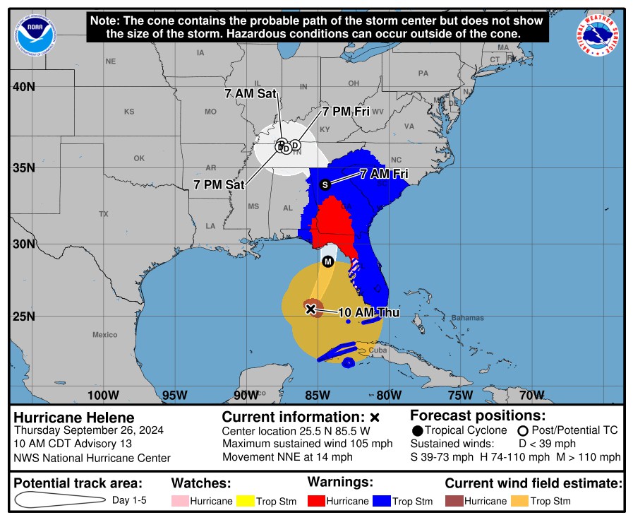
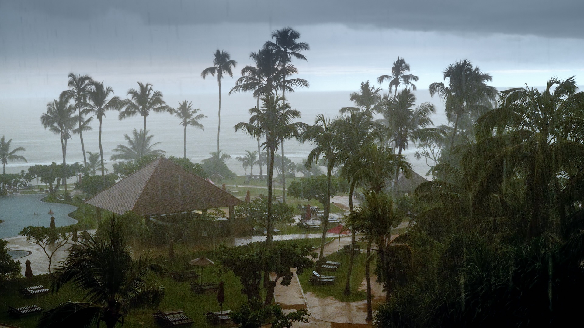
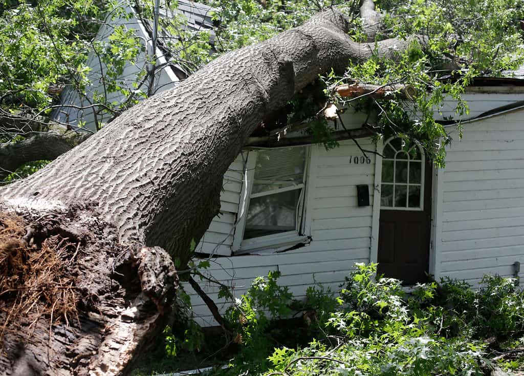
As of the 11:00 update this morning, Helene is projected to make landfall along the Florida coast tonight as a Major CAT3 or CAT4 Hurricane with sustained winds of 130 MPH. The eye of the storm is currently projected to pass near Tallahassee. However, due to the size and intensity of this storm, hurricane force winds will extend well beyond the center, primarily to the east. Winds also will extend north as Helene moves into Georgia and the Carolinas.
HMI is anticipating that the volume of claims we receive will support deployment of crews into impacted areas. Current guidance from our clients is that HMI’s support will be needed not just around Tallahassee but into central/northern Georgia, including Atlanta, where they are expecting hurricane force sustained winds and/or gusts.
Deployment
If you are interested in deploying for this storm, and haven't already contacted us, please let us know as soon as possible so that we can keep you informed of our expectations and where your services may be most needed.
Alternately, you may also contact either dc*****@hm**********.com
">Doug Cowles or Jacque Mangel directly with questions. If you are located in an area the may be directly impacted by this event please stay safe!


